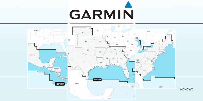
Garmin Marine charts and map updates are necessary for several reasons, similar to the reasons for updating maps on car GPS devices. However, in the context of boating, there are some specific considerations that make Garmin Marine chart and map updates essential:
Navigational Safety
Accurate and up-to-date maps are crucial for boating safety. Waterways, including rivers, lakes, and coastal areas, can experience changes in depth, underwater obstacles, and buoy placements due to natural processes, dredging activities, or environmental factors. Updating boat maps ensures that you have the latest navigational information to avoid hazards and navigate safely.
Shifting Sandbars and Channels
Coastal areas and riverbeds are prone to changes in sandbars, channels, and underwater structures. Outdated Garmin Marine charts may not reflect these changes, putting boaters at risk. Updated maps provide current information on water depths and navigable channels.
Marine Points of Interest included on Garmin Marine Charts
Like land-based GPS maps, boat maps also include information about marinas, docks, fuel stations, anchorages, and other marine-specific points of interest. Keeping these details up to date helps boaters find essential services and destinations while on the water.
Tides and Currents
Boaters need accurate tide and current information to plan their trips and navigate safely. Map updates often include the latest tide and current data, ensuring that boaters can make informed decisions regarding the timing of their journeys.
Weather and Radar Integration
Some Garmin chartplotters integrate weather and radar information to provide real-time updates on weather conditions. Accurate Garmin marine charts are essential for overlaying weather data onto the navigation display for route planning and avoiding severe weather.
Compatibility with Marine Electronics
Modern marine GPS devices often integrate with other marine electronics systems, such as fishfinders, sonar, and autopilot systems. Map updates ensure compatibility and proper functioning with these integrated systems.
Legality and Compliance
Some regions have specific regulations regarding the use of up-to-date navigation charts and maps for boating. Failing to update your boat maps may result in legal issues or penalties if you are found to be using outdated or incorrect charts.
Efficient Route Planning
Updated boat maps enable more efficient route planning by providing the latest information on navigation aids, markers, and waterway restrictions. This can help save time, fuel, and effort during boating trips.
In summary, Garmin Marine map updates are essential for boating safety, efficient navigation, and compliance with regulations. Keeping your boat maps current ensures that you have access to the latest information about waterway conditions, marine points of interest, and navigational aids, ultimately enhancing your overall boating experience and safety on the water.
Located in Stuart, Florida, J-TEK Marine Electronics is proud to offer decades of experience in cutting-edge electronic installation, repairs, and retrofits. Our dedicated team specializes in the expert installation of marine electronics, aimed at elevating and simplifying your boating adventures. Contact us today to explore how Garmin marine solutions can maximize your enjoyment on the water.

